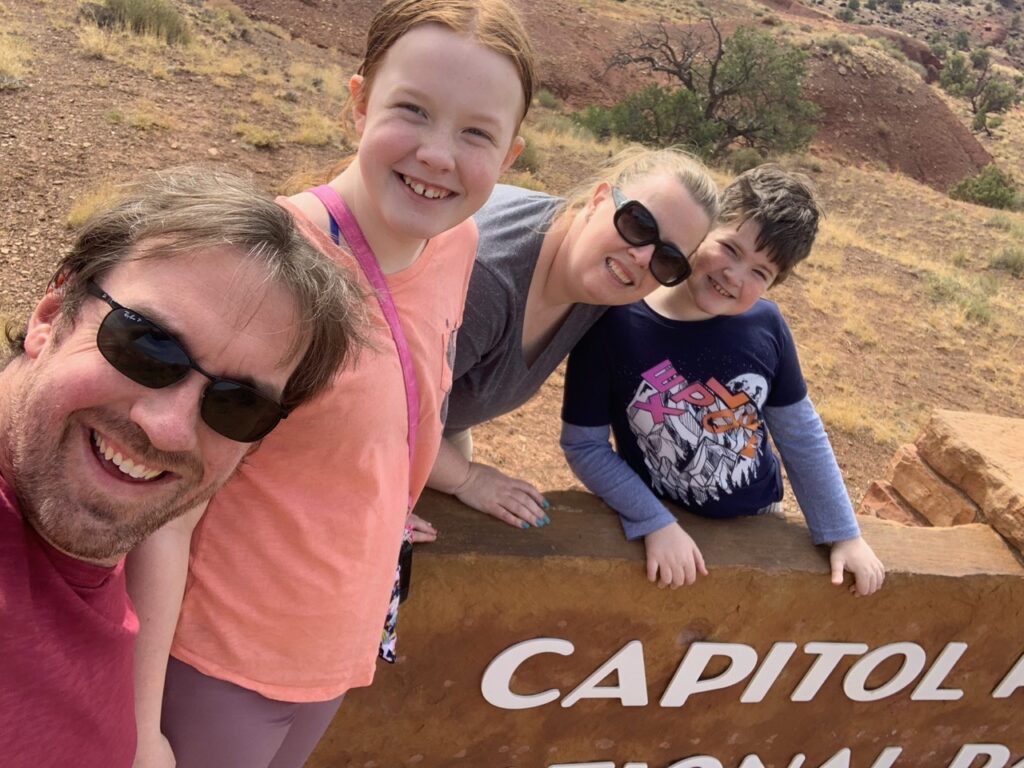
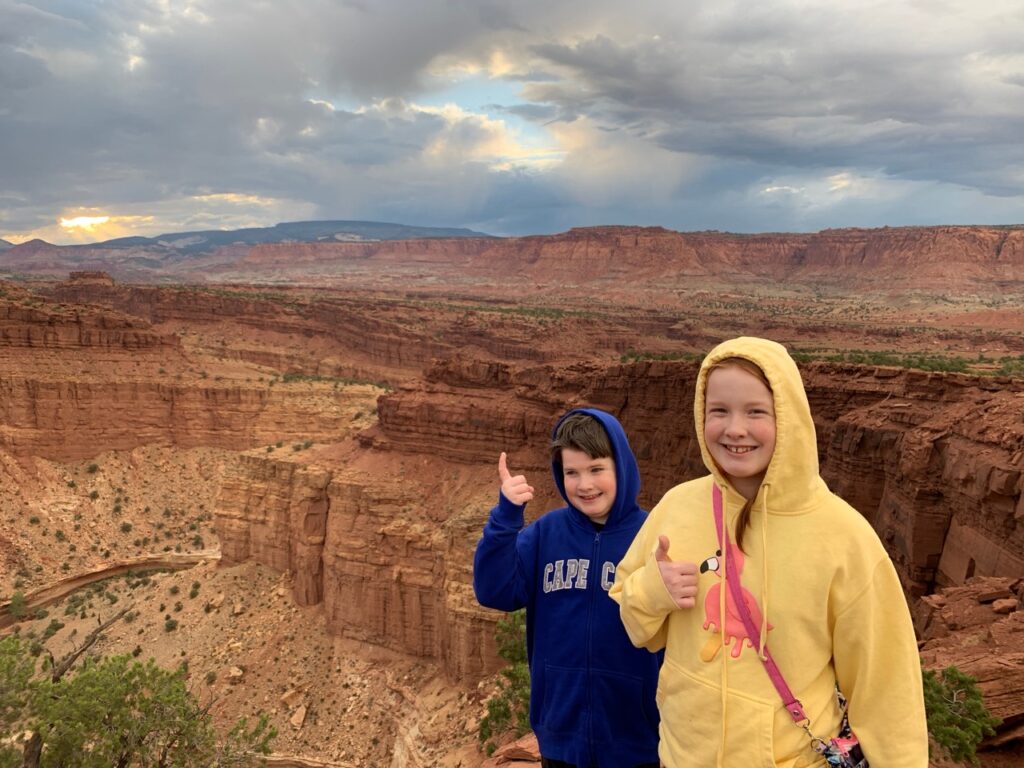
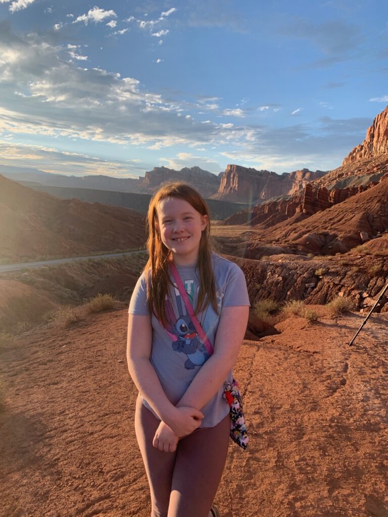
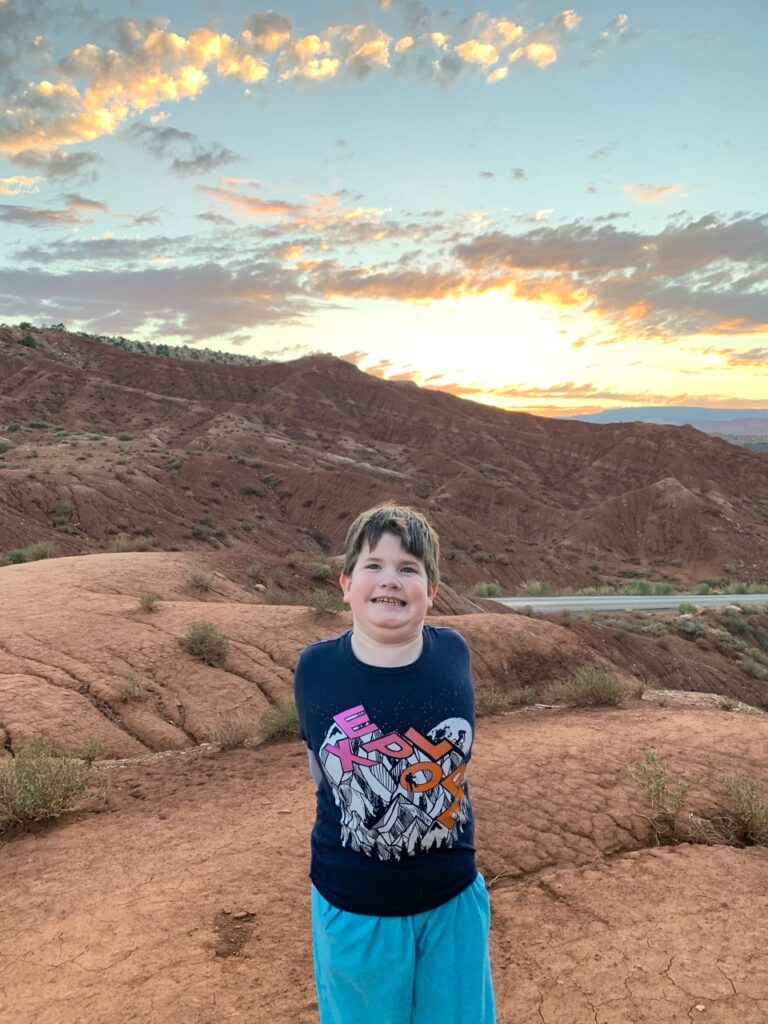
In July, my family embarked on our annual excursion, a tradition that sees us venturing out for a week-long journey each year. This time, my wife Cat, our son Collin, our daughter Cami, and I set our sights on Utah and northeastern Nevada—remote sanctuaries from the bustling city life, which felt especially apt given the global circumstances.
We kicked off our adventure by flying into Las Vegas, then driving to the less-traveled Capitol Reef National Park in south-central Utah. On the way, we made a customary stop at In-N-Out—a beloved ritual on our trips west since we’re East Coasters.
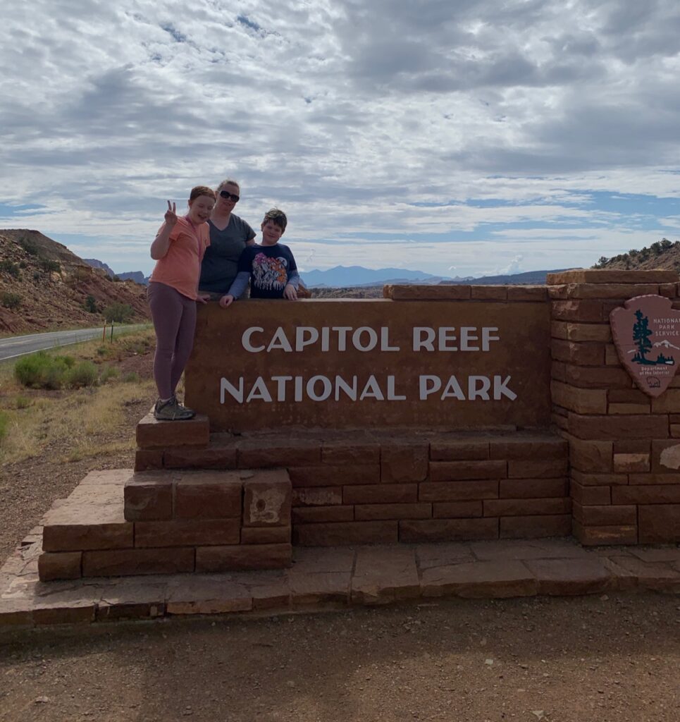
Capitol Reef, a strikingly long (60 miles) and narrow (6 miles wide on average) park, was the last on our list of Utah’s ‘Mighty Five.’ Initially designated as a National Monument by President Roosevelt in August 1937, it wasn’t recognized as a National Park until 1971. Though the park’s vivid canyons, ridges, and monoliths have been under protection since the 1930s, it remained largely inaccessible to the public until the 1950s when the first roads were constructed, notably improving in 1962.
The main thoroughfare, State Route 24, slices through the park east to west via the Fremont River Canyon, with a secondary scenic route branching south. Much of the park’s vast landscape is accessible only by dirt roads or on foot, preserving its rugged, untouched allure.
A geological marvel, the park showcases the Waterpocket Fold—a dramatic uplift of earth’s crust caused by tectonic movements, contrasting the typically horizontal layers seen across the Colorado Plateau. This monoclinal fold was formed between 50 and 70 million years ago during the Laramide Orogeny, a significant mountain-building event that reactivated an ancient fault. This geological activity elevated the west side by over 7,000 feet compared to the east, creating a stark, picturesque skyline that erodes into pockets of water which carve the rock, giving this landscape its name: Waterpocket Fold.
The park’s name, Capitol Reef, is inspired by white domes and cliffs of Navajo Sandstone that resemble the dome of the United States Capitol building. The area’s rich history dates back to the 10th century, home to Native American tribes who left behind petroglyphs near the Fremont River. The region saw its first European explorers in 1872 with a U.S. Army survey, followed by Mormon settlers after the Civil War, whose influence is still visible in the preserved orchards and buildings maintained by the National Park Service.
Our base was the quaint town of Torrey, UT, just 11 miles from the park. Despite its small size, Torrey offers essential amenities and the Chuck Wagon General Store, a delightful spot with an excellent deli.
Our exploration was somewhat thwarted by unexpected weather; a region that typically receives 8 inches of rain annually saw 2 inches in just our five-day visit. This led to flash floods, creating ephemeral waterfalls and torrents in normally dry washes—a rare and stunning sight, though it rendered many dirt roads impassable and temporarily closed the scenic drive.
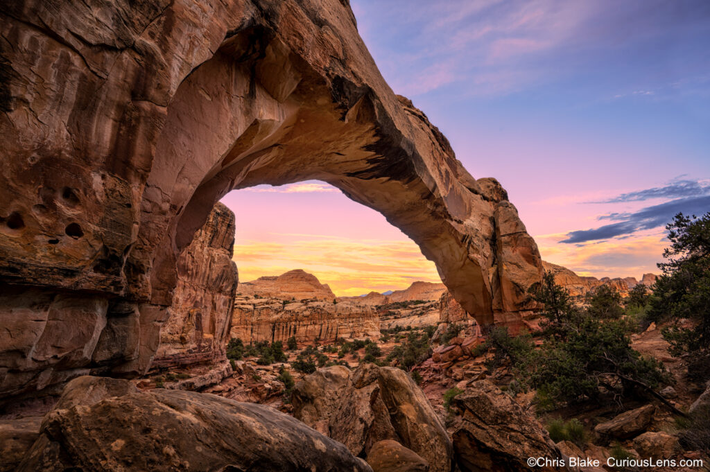
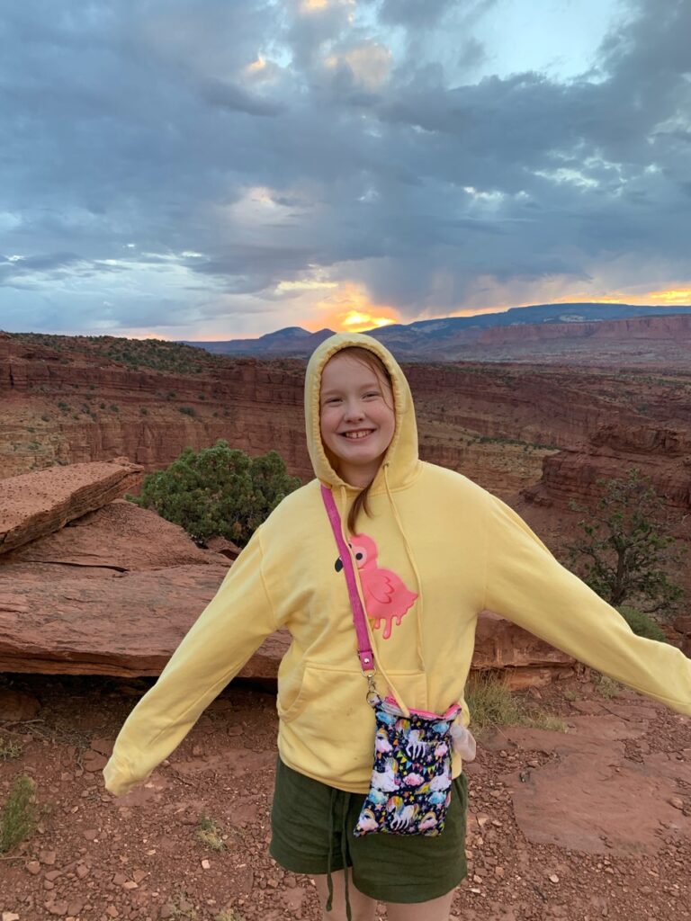
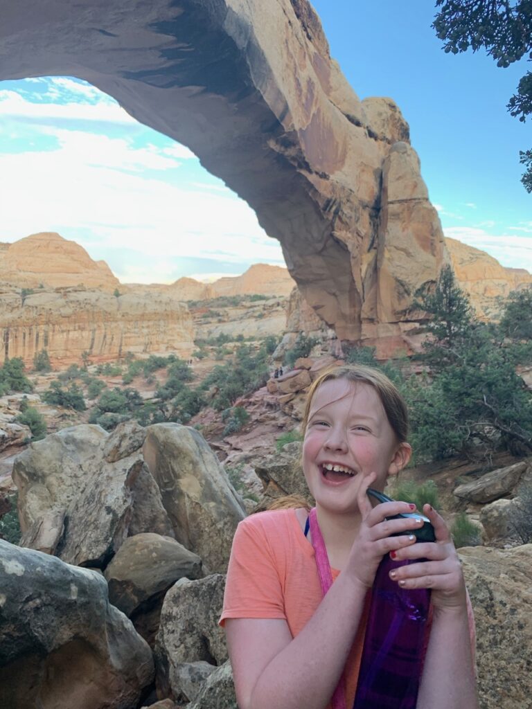
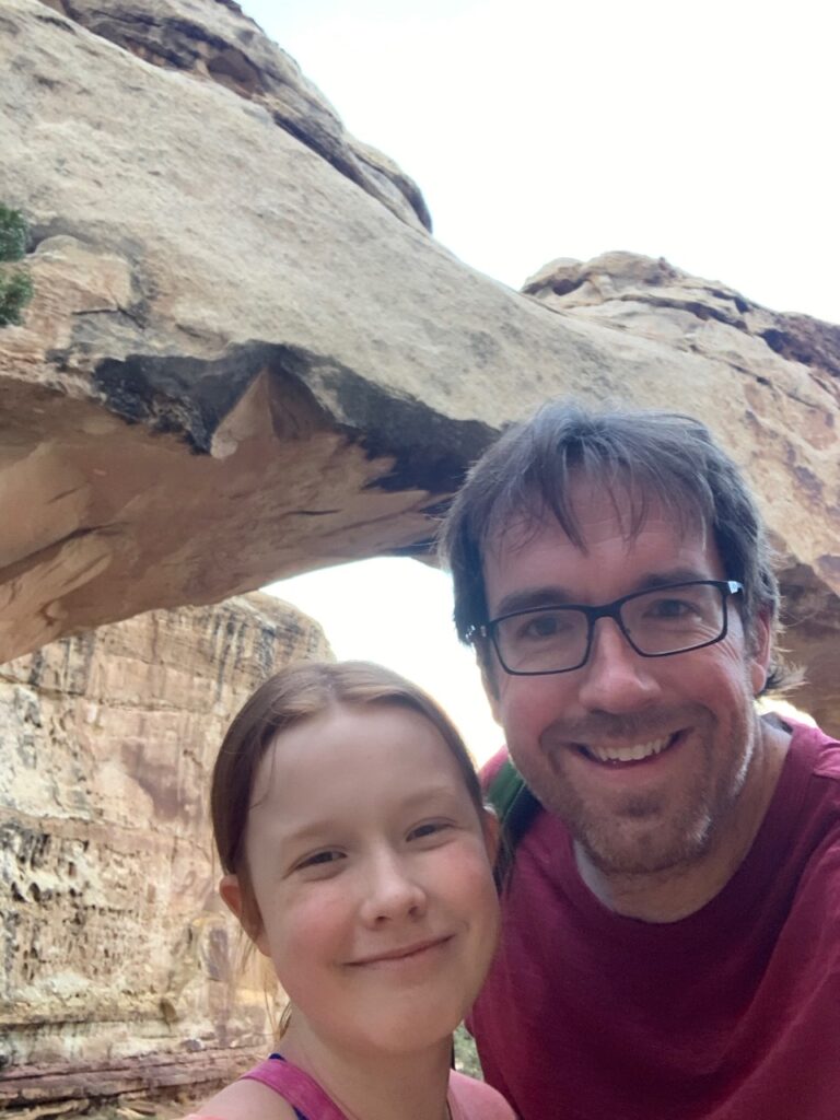
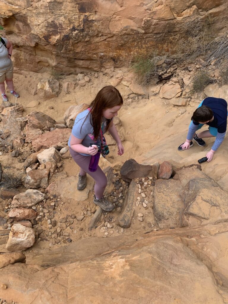
Our visits included the Capitol Reef Visitors’ Center for updates and recommendations from the park rangers, and numerous sites accessible from HWY 24 like Twin Rocks and Chimney Rock. We ventured on hikes to Goosenecks Overlook and Sunset Point, enjoying spectacular views and geological formations. One highlight was Hickman Bridge, a significant natural arch accessed via a steep trail that offers both a challenging hike and rewarding vistas.
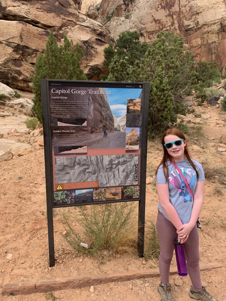
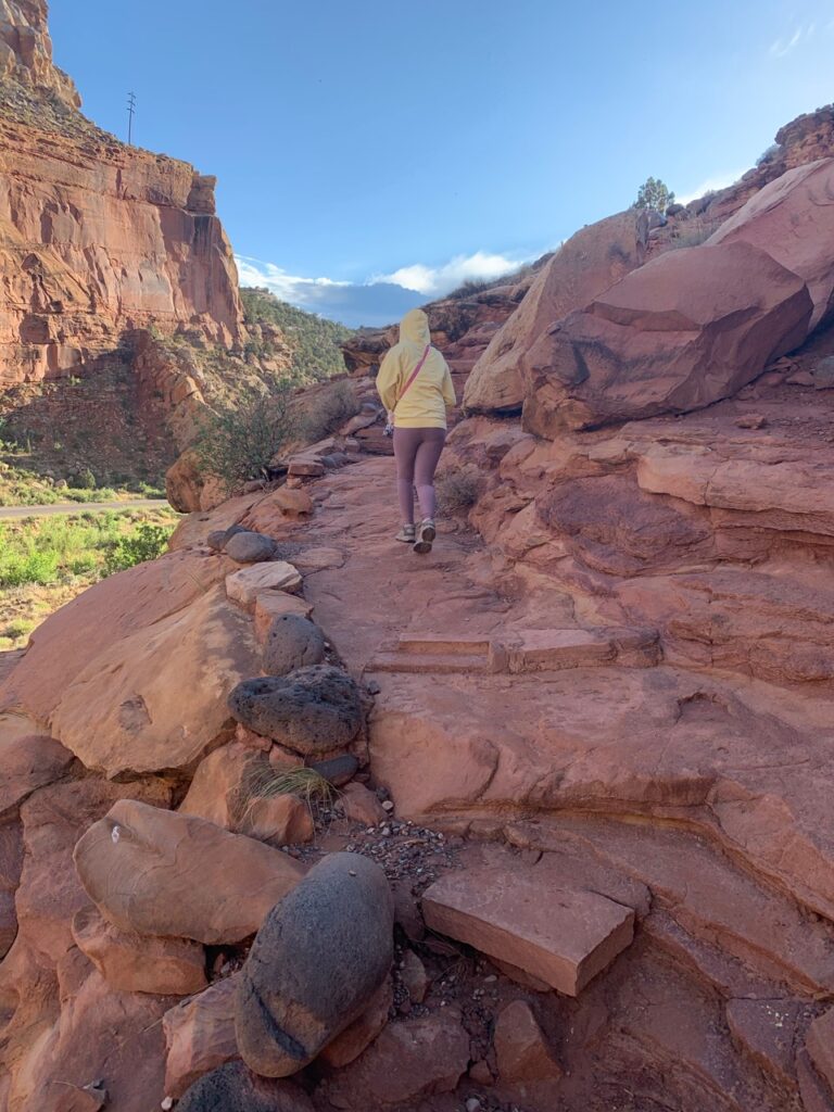
The Scenic Drive, with its 10 miles of paved road and additional dirt paths, leads to Capitol Gorge, a historical passageway through the reef. Here, we saw the Pioneer Register, where early Mormon settlers left their marks on the canyon walls, and Cassidy Arch, named after the infamous outlaw Butch Cassidy.
Despite the weather constraints, we covered extensive ground, including the Grand Wash—a long, flat hike through a broad canyon. Unfortunately, conditions prevented us from reaching the Cathedral Valley, an area known for its monumental formations like the Temple of the Sun and Temple of the Moon, promising a future adventure.
Our trip concluded with a journey to Great Basin National Park, rounding off a memorable exploration of nature’s resilience and beauty under extraordinary conditions.