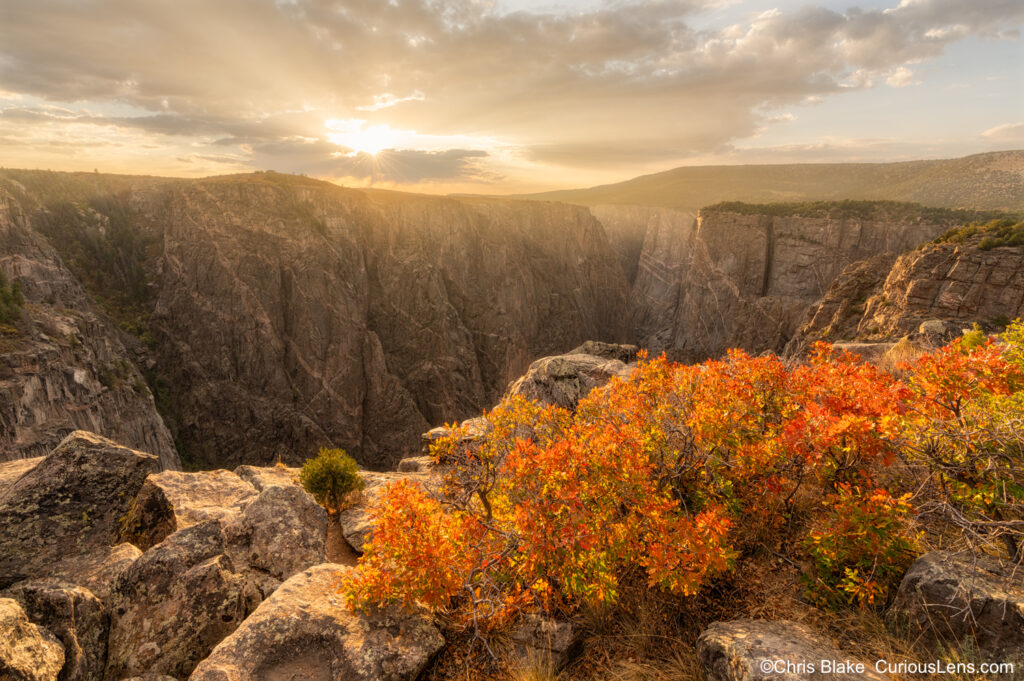
Black Canyon of the Gunnison was first designated as a National Monument in 1933 before it was granted National Park status in 1999. During the mid to late 1930s, the Civilian Conservation Corps (CCC) constructed the roads and five overlooks along the North Rim Road. These overlooks are now recognized on the U.S. National Registry of Historic Places as a historic district.
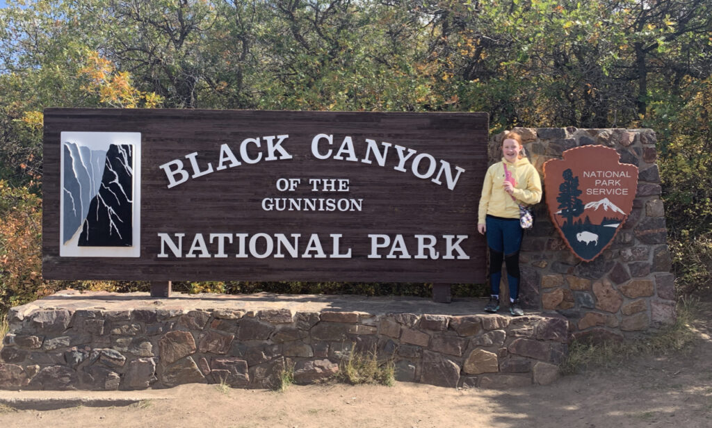
For our adventure, we based ourselves in the quaint town of Montrose, CO, conveniently located near the southern rim of the park. Montrose offered all the amenities we needed for our stay, though we spent the majority of our time exploring the park itself.
Although the clarity was somewhat better than at Rocky Mountain National Park, the area was not completely untouched by the smoke and haze affecting many of the western states. Despite this, we pressed on to make the most of our experience.
The south rim is undoubtedly the most frequented part of the park, featuring the main visitor center and twelve overlooks. Most of these overlooks are easily accessible via a short hike from a paved parking area, making it a popular choice given its mere 15 miles from Montrose.
In contrast, the North Rim offers a more remote experience, accessed by a dirt road and featuring less developed viewpoints. This area presents raw beauty and opportunities for more rugged exploration. However, it lacks extensive guardrails, offering unobstructed—and vertiginous—views of the canyon depths. From Montrose, it’s nearly a two-hour drive through scenic backroads, farms, and ranches, making it a peaceful retreat for those who venture this far.
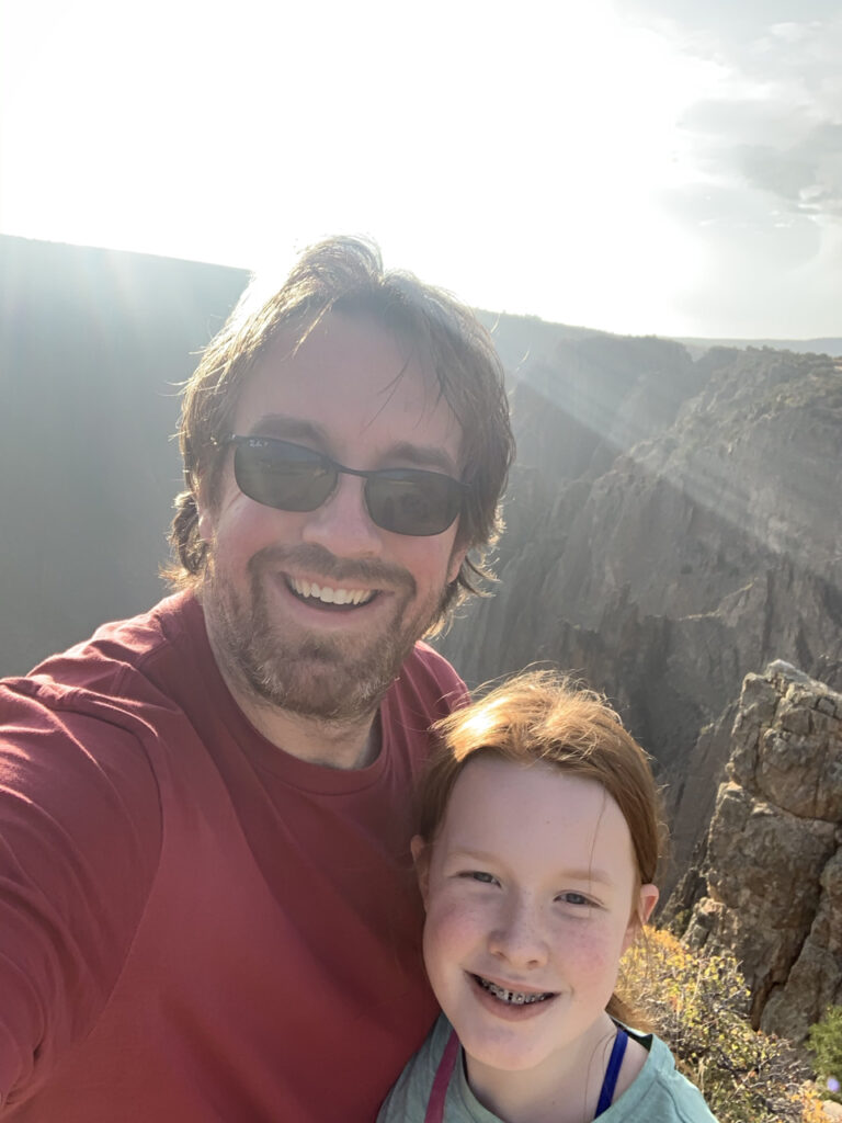
Regarding hiking to the canyon’s base, it is regulated through a permit system, requiring an in-person application. Rangers often discourage attempts due to the absence of maintained trails and the necessity for advanced backcountry navigation and climbing skills. Consequently, we decided against descending to the canyon’s floor.
We spent the first two days exploring the North Rim. The drive was long but enjoyable, with minimal traffic and numerous sights along the way. The area felt like a private sanctuary, especially at Narrows View—an incredibly steep and narrow section of the canyon where the sound of rushing waters below is profoundly immersive.
After spending extensive time on the North Rim, the drive to the more accessible South Rim seemed almost effortless. Our first stop was the visitor center, where we engaged with the rangers and Cami was able to add another stamp to her passport. We also picked up some commemorative pins and patches.
We then drove the scenic paved road, stopping to explore most of the overlooks. While some required a bit of hiking, all were manageable. Sunset Point was a particular favorite, offering the opportunity to climb large boulders for expansive views of the canyon and river.
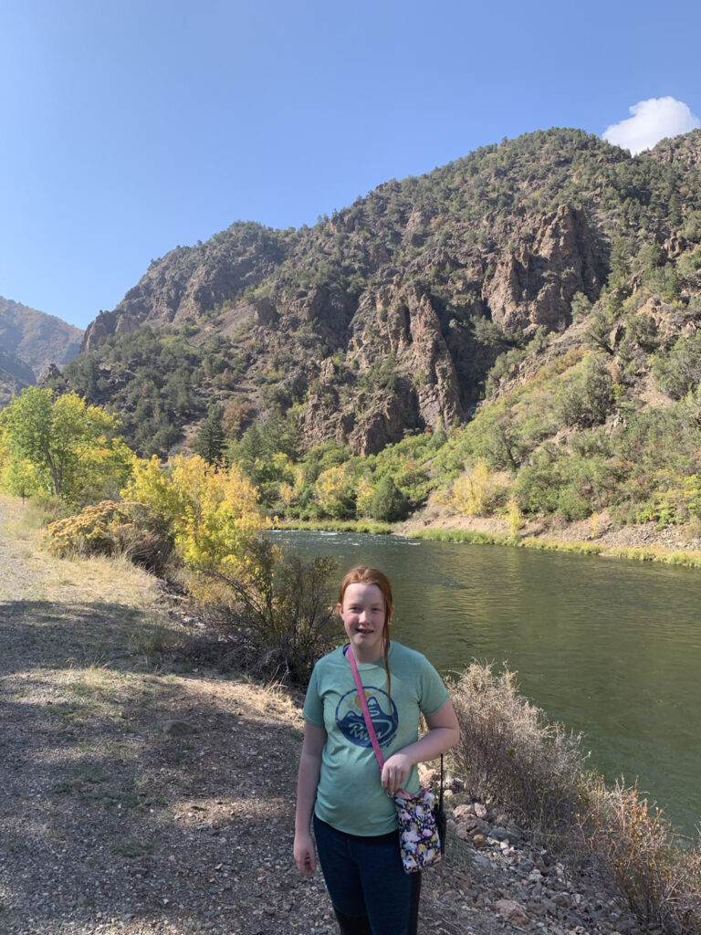
With time to spare before sunset, we ventured down East Portal Road, leading out of the park and down to the river in the Curecanti National Recreation Area. The road, only navigable in summer, features intense 16% grades and tight switchbacks. At the bottom, the impressive Gunnison Diversion Dam can be found, an engineering marvel born out of the post-Civil War western expansion. The dam and the accompanying six-mile tunnel, constructed through the cliffs of Black Canyon in the early 20th century, still deliver water to the Uncompahgre Valley, proving essential for the local agriculture.
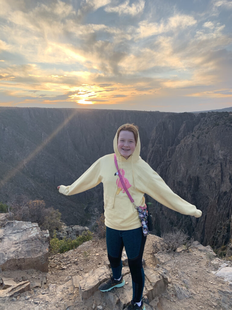
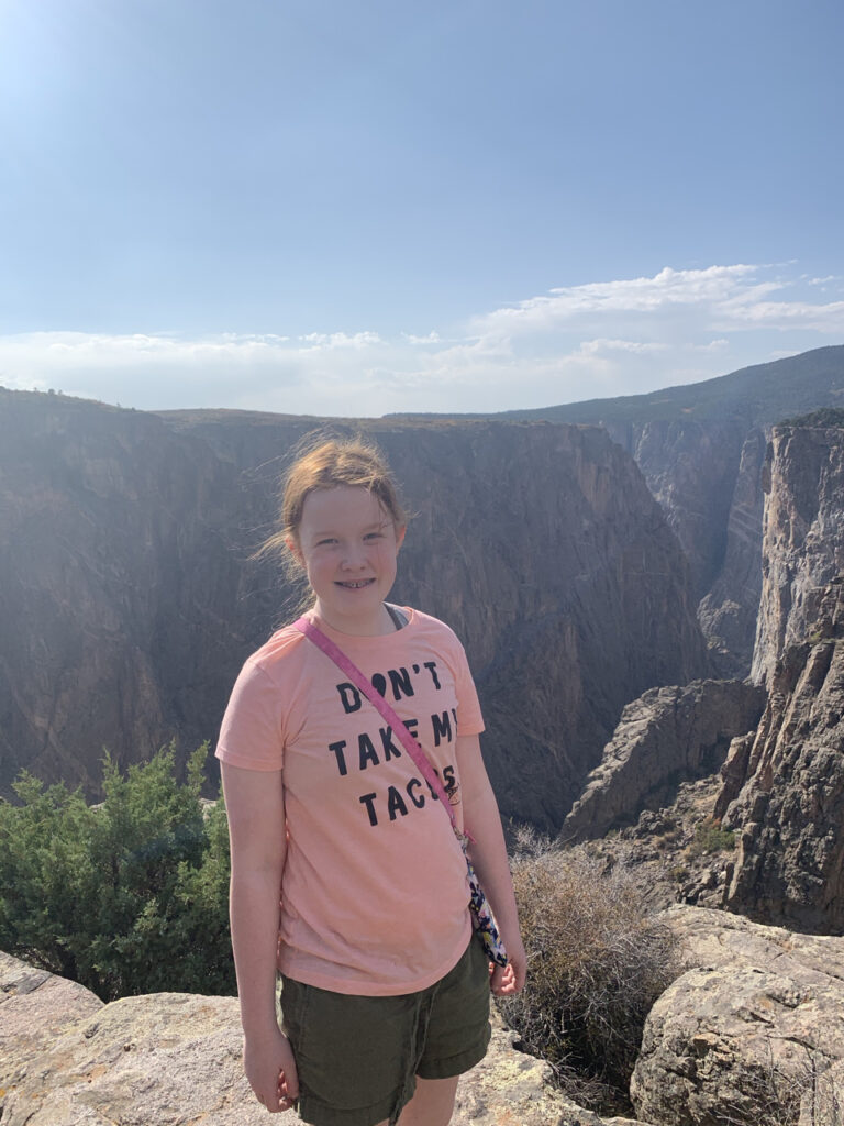
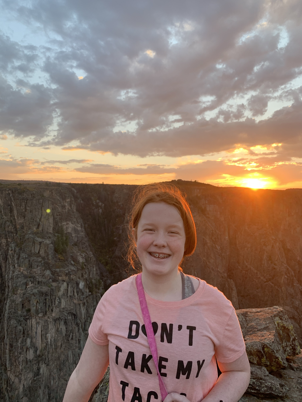
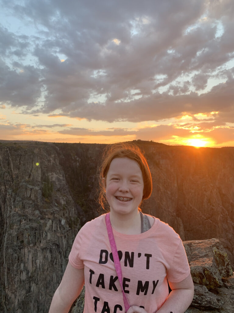
We returned to Sunset Point for sunset, a spectacular sight as Cami enjoyed climbing the rocks. As the sun dipped below the horizon, the winds picked up, marking a memorable close to our visit.
The following day, we packed up and set off for our next adventure at Mesa Verde National Park, ready for another round of exploration!
