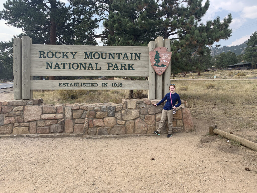
In mid-September, we once again ventured west, this time heading to Denver before exploring the majestic Rocky Mountain National Park. Nestled in north-central Colorado, the park is part of the Front Range of the Rockies. Established by President Woodrow Wilson on January 26, 1915, this expansive park covers 414 square miles, with an additional 395 square miles of National Forest land enveloping it. In 1976, it gained recognition as one of the first World Biosphere Reserves by UNESCO.
Rocky Mountain National Park stands as one of the loftiest national parks in the United States, with elevations ranging from 7,860 to 14,259 feet. Its main thoroughfare, Trail Ridge Road, crafted by the Civilian Conservation Corps in the 1930s, holds the title of the highest continuous paved road in the nation at 12,183 feet. The park boasts 60 mountain peaks exceeding 12,000 feet.

The park is divided into five distinct regions, each offering unique wildlife and geological features. The Continental Divide slices through the park’s center from north to south. It hosts over 450 miles of rivers and more than 150 lakes, including the headwaters of the Colorado River in the northwestern part.
For our adventure, we settled in Estes Park, Colorado—a popular gateway to the National Park. This charming town is dotted with a plethora of hotels, restaurants, and shops, providing ample amenities for visitors. Estes Park, conveniently located about an hour and a half from Denver International Airport, offers one of the most accessible routes to a national park.
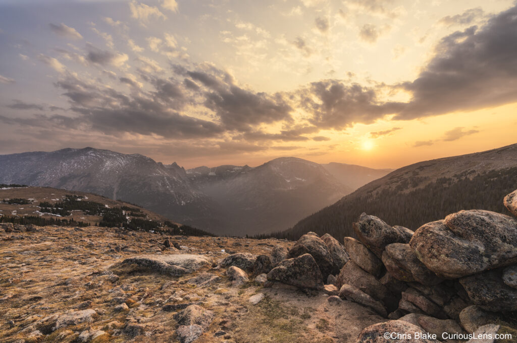
We timed our trip to coincide with the fall foliage. Our hopes were to capture the park draped in the golden hues of late fall aspens. However, we encountered two significant challenges: an unusually late fall delayed the foliage colors, and widespread wildfires in the western states blanketed the park with heavy smoke, muting the typically crisp mountain vistas.
Nevertheless, we embraced the conditions; after all, sometimes the most compelling photographs emerge from adversity. Despite some closures in the northern areas due to the fires, all main roads remained open, and we were able to visit nearly all accessible major points.
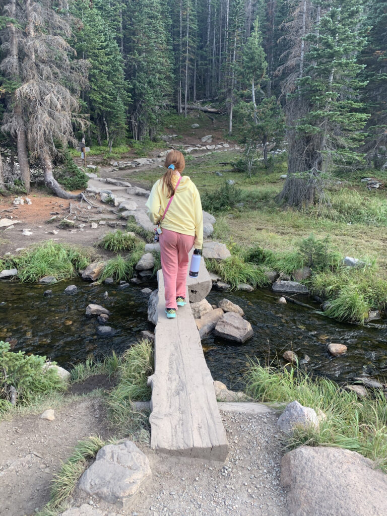
Our exploration began with an evening hike to Dream Lake, located in the Heart of the Park (Region 4), known for its trails leading to alpine lakes, meadows, and forests. The hike, while short, climbs steadily uphill. En route, we passed Nymph Lake, adorned with lily pads, arriving just in time to watch a mesmerizing sunset—an unforgettable first impression of the park.
The following morning, we ventured deep into the Alpine Region before dawn. This area, the highest within the park, offers panoramic views of distant mountains and frozen tundra landscapes. We captured the sunrise from Lava Cliffs overlook, where despite the lingering smoke, the early light filtering through provided a breathtaking scene. This region has a volcanic past, dating back about 28 million years, and glaciers have since exposed ancient lava rocks beneath newer sedimentary layers.
That evening, we trekked along the Ute Trail, historically used by the Arapaho and Ute tribes. Starting from the Ute Crossing trailhead, we climbed above the treeline into the tundra. Here, I found a perfect composition and spent hours photographing the changing light as the sun dipped below the horizon.
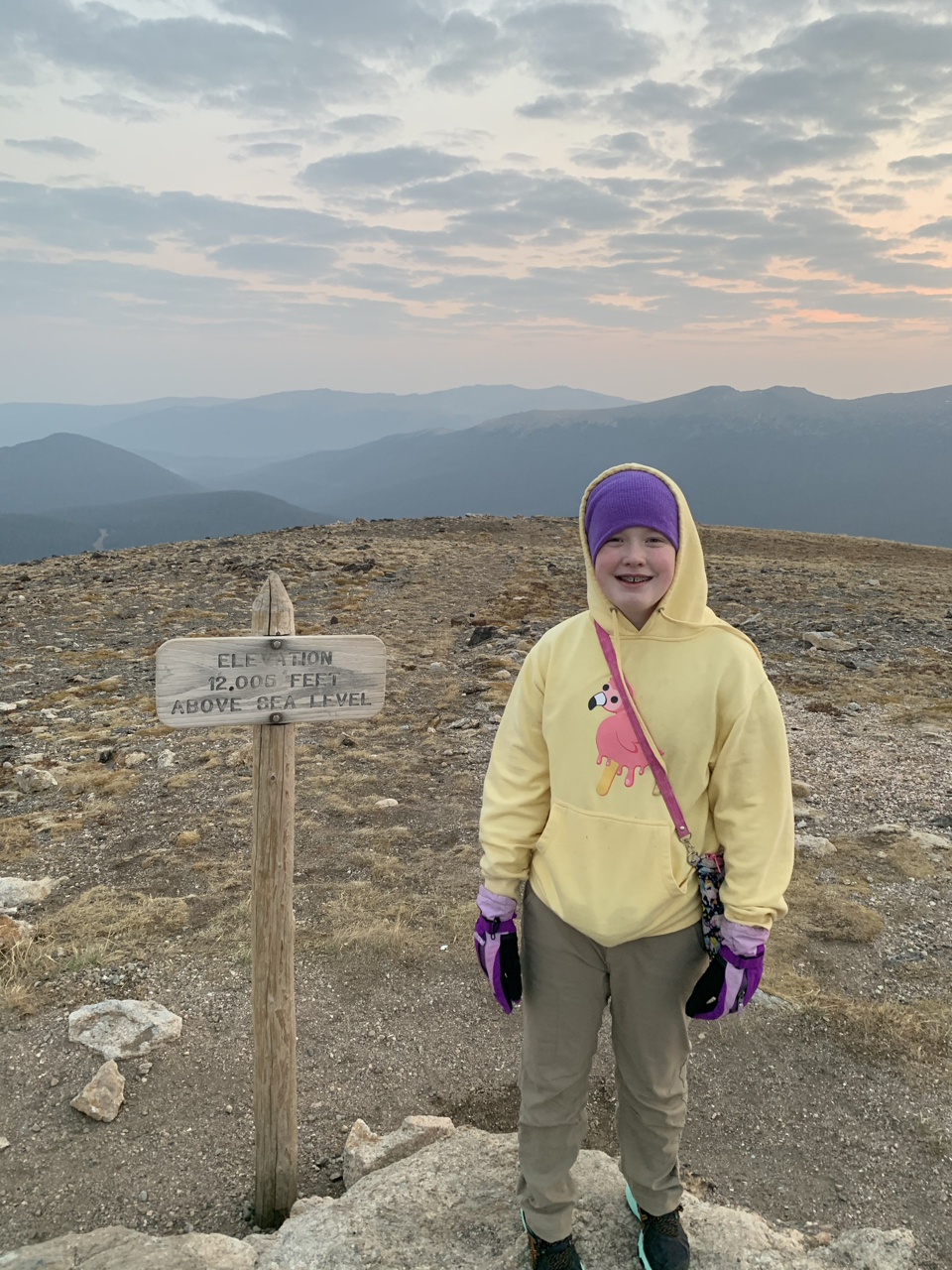
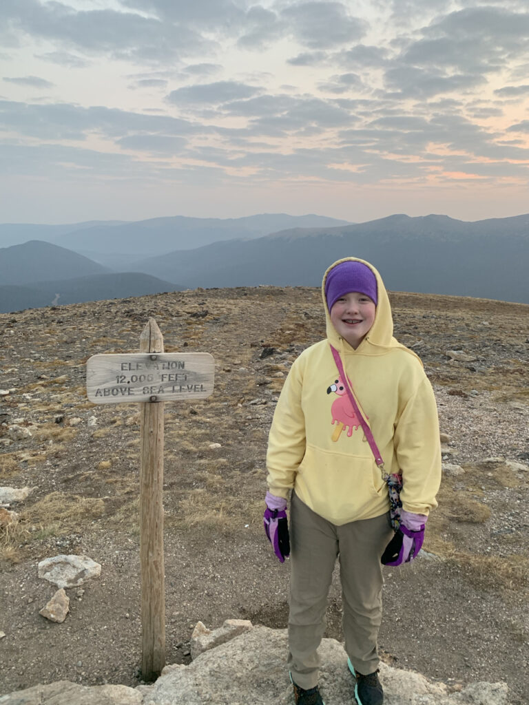
A visit to the Alpine Visitors Center along Trail Ridge Road is a must. Perched at 11,796 feet at Fall River Pass, the center provides spectacular views and valuable insights into the region’s history. We visited several times, including one particularly memorable predawn morning. The nearby Alpine Ridge Trail, though short and steep, rewards climbers with stunning views from 12,005 feet.
As fall progressed in the Rockies (earlier elsewhere in the nation), morning temperatures hovered in the mid to high 40s, seldom warming beyond 60 degrees even after sunrise. The strong winds were a challenge, at times threatening to topple my camera setup.
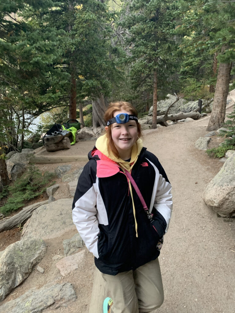
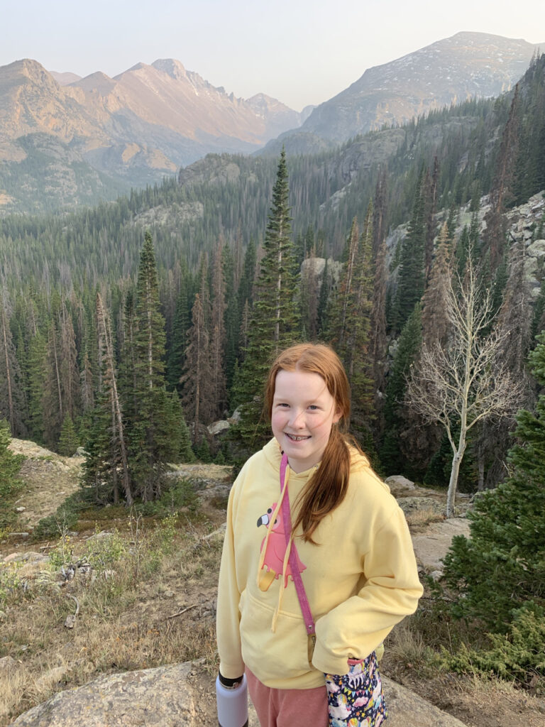
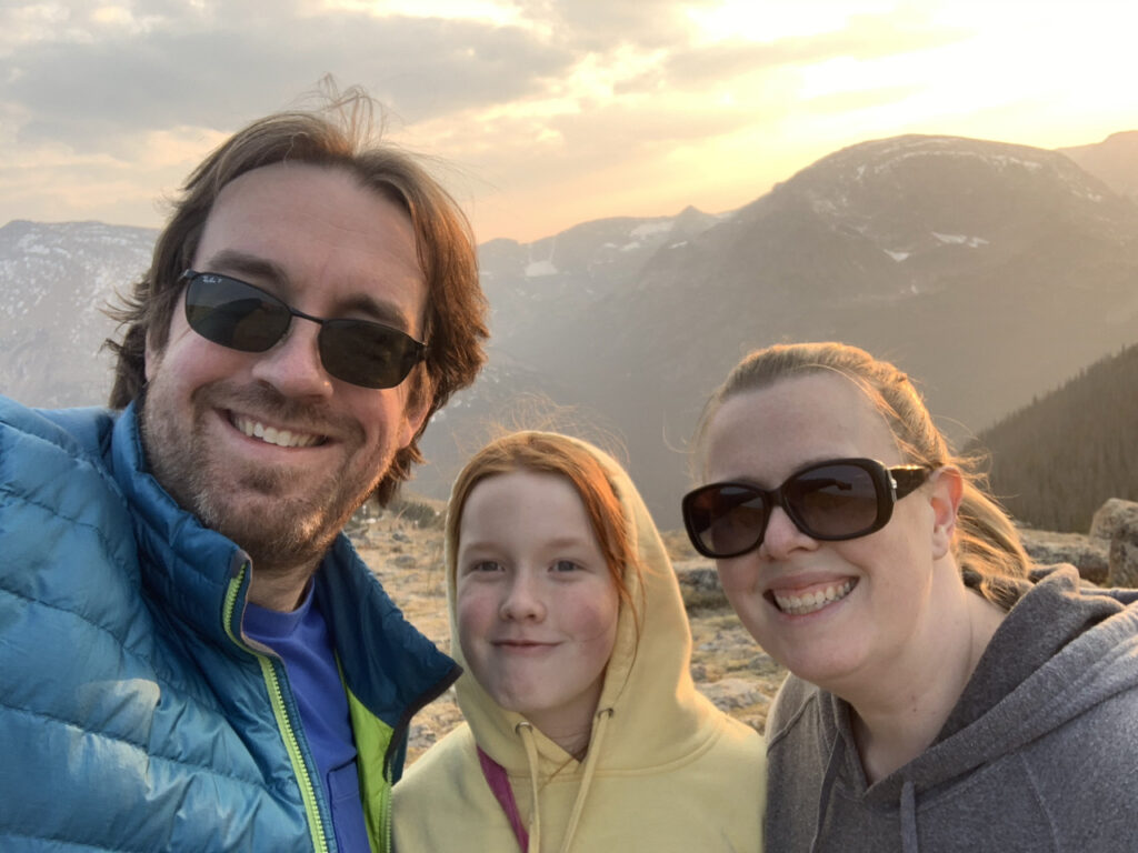
Our remaining days were spent exploring the park’s meadows, trails, and historic sites, including remnants of early settlers, logging activities, and mining operations. Although we didn’t encounter any moose, the wildlife was plentiful—mule deer, elk, chipmunks, black squirrels, and marmots were frequent sights, especially the elk in Hidden Valley.
On our final morning, we arrived at Bear Lake well before dawn to find the parking lot nearly full, a testament to its popularity. The trail around Bear Lake is an easy 0.8-mile loop with minimal elevation gain, starting at the Bear Lake ranger station. Post-fire regrowth has populated the area with a mix of pines and aspens, offering beautiful vistas of Hallett Peak and Half Mountain against the backdrop of Longs Peak. Despite challenging lighting conditions earlier in the trip, that morning provided warmer temperatures and calmer winds, making our last photo session particularly enjoyable.
